
VALID UNTIL: Friday midday (12:00 LST) August 21, 2020
WEATHER:
Remainder of this afternoon: Partly cloudy and breezy, becoming cloudy at times with isolated showers and a low chance of isolated thunder.
Tonight through Friday midday: Partly cloudy with isolated showers possible.
Forecast High: 32°C / 90°F Forecast Low: 28°C / 82°F
Sunset Today: 6:35 P.M. Sunrise Tomorrow: 5:56 A.M.
SURFACE WINDS: This afternoon through Friday midday: East northeast with a gentle to moderate breeze of 10 to 18 mph.
SYNOPSIS:
An approaching moisture surge and instability, associated with a low level disturbance, will increase the probability of cloudiness and showers along with a low chance of isolated thunderstorms today. Conditions are expected to improve by tonight as the moisture surge departs the local area.
Seas are expected to peak at 7 feet during this forecast period before deteriorating over the weekend. Small craft operators and sea bathers should exercise caution.

STATE OF THE SEA: Moderate WAVES/SWELLS: 5 to 7 feet
SPECIAL FEATURE:
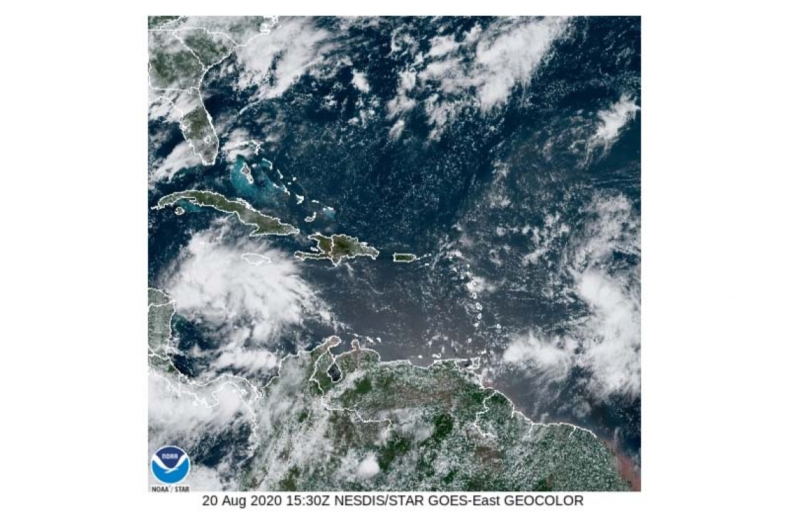
At 11am Tropical Depression 13 was located approximately 750 miles east-southeast of St Maarten. TD 13 is moving toward the west-northwest at 21 mph with maximum sustained winds of 35 mph and higher gusts. Some strengthening is forecast to occur and it could become a Tropical Storm later today. The current forecast track brings the closest point of approach at approximately 80 miles to the Northeast of St Maarten late Friday night into Saturday morning.
Regardless of development, gusty wind conditions and heavy rainfall are expected over parts of the local area from late Friday.
A yet to emerge tropical wave, over western Africa is producing disorganized showers and thunderstorms. This wave is expected to move over the far eastern tropical Atlantic on Friday. After which, some slow development is possible through the weekend while it moves west-northwestward at 15 to 20 mph across the eastern tropical Atlantic.
* Formation chance through 48 hours...low...20 percent.
* Formation chance through 5 days...medium...40 percent.
THE METEOROLOGICAL DEPARTMENT OF ST. MAARTEN WILL CONTINUE TO MONITOR THESE SYSTEMS AND UPDATE THE PUBLIC ACCORDINGLY.
OUTLOOK through Saturday midday: Cloudy to overcast, strong winds with numerous showers and scattered thunderstorms.
FORECASTER: Pierre


