
DATE ISSUED: Friday 15th August 2025 @ 12:00 LST (16:00 UTC)
VALID UNTIL: Saturday midday (12:00 LST) 16th August 2025
…ERIN BECOMES THE FIRST HURRICANE OF THE 2025 SEASON…
… A TROPICAL STORM WATCH REMAINS IN EFFECT…
…RAINFALL/FLOOD ADVISORY IS IN EFFECT UNTIL SUNDAY,
15TH AUGUST…
WEATHER:
This afternoon through Saturday midday: Partly cloudy at first, becoming increasingly cloudy with scattered showers and isolated thunderstorms.
Forecast High: 31°C / 88°F Forecast Low: 24°C / 75°F
Sunset Today: 6:39 P.M. Sunrise Tomorrow: 5:55 A.M.
SURFACE WINDS:
This afternoon through tonight: Northeasterly to northwesterly with a light to moderate breeze at 4 to 13 mph, becoming lighter and variable at times.
Saturday morning through midday: Northwesterly to southwesterly with a moderate to strong breeze at 13 to 30 mph and higher gusts.
SYNOPSIS:
Moisture and instability associated with Hurricane Erin will account for deteriorating weather conditions across the region. Showers and thunderstorms are expected to become more frequent as the system gets closer. Residents and users of areas prone to flooding and rock slide should exercise caution as some showers are expected to be heavy.
Seas are expected to gradually deteriorate and peak at 10 feet near the end of this forecast period.
STATE OF THE SEA: Slight to rough WAVES/SWELLS: 4 to 10 feet
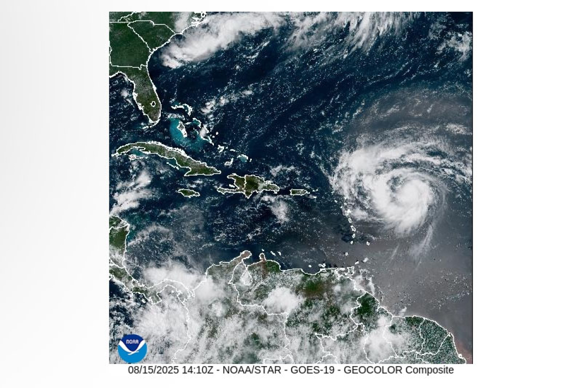
SPECIAL FEATURE: 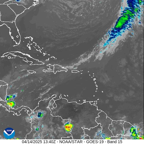
At 11:00 am, the center of Hurricane Erin was located near 18.2°N 56.1°W, or about 460 miles east of St. Maarten. Erin has maximum sustained winds of 75 mph and is moving towards the west northwest at 18 mph. Steady to rapid strengthening is forecast during the next two to three days and Erin is expected to be a major hurricane during the weekend. Its closest point: approximately 150 miles north of St. Maarten on Saturday.
All are advised to remain updated on the progress of Erin.
The Meteorological Department of St. Maarten will continue to monitor the progress of this system and inform the public accordingly.
FORECASTER: Albert / Henderson
3-DAY FORECAST
|
DAY
|
Friday
|
Saturday
|
Sunday
|
|
WEATHER
|
Variably Cloudy
Scattered Showers Thunderstorms
|
Cloudy/Overcast
Widespread Showers Thunderstorms
|
Cloudy
Scattered Showers Isolated Thunderstorms |
|
HIGH TEMP
|
31°C / 88°F
|
30°C / 86°F
|
30°C / 86°F
|
|
LOW TEMP
|
24°C / 75°F
|
23°C / 73°F
|
24°C / 75°F
|
|
SUNRISE
|
05:55 AM
|
05:55 AM
|
05:55 AM
|
|
SUNSET
|
06:39 PM
|
06:38 PM
|
06:37 PM
|


