
NWS National Hurricane Center Miami FL
450 PM EDT Tue May 26 2020
For the North Atlantic...Caribbean Sea and the Gulf of Mexico:
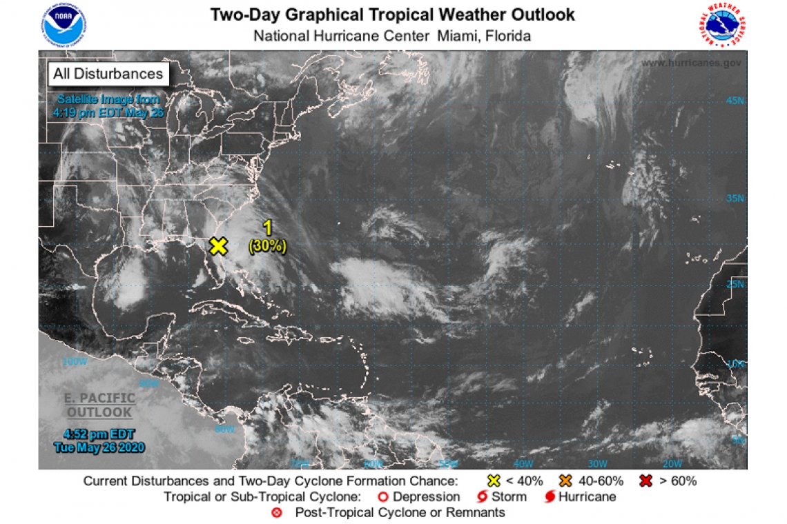
Special Tropical Weather Outlook issued to discuss the area of low pressure near the northeast Florida coast.
An elongated area of low pressure located near the northeast Florida coast and an associated upper-level disturbance are producing a large area of showers and thunderstorms extending from portions of Florida and coastal Georgia eastward for a few hundred miles over the Atlantic waters. Some development of this system is possible through early Wednesday if it remains offshore while moving slowly northward near the northeastern Florida and Georgia coasts. The low is expected to move well inland over the southeast U.S. by late Wednesday, which should end any chance of tropical cyclone formation.
Regardless of development, heavy rainfall could cause flash flooding over portions of coastal sections of northeastern Florida and Georgia through tonight, and over portions of the Carolinas on Wednesday. Gusty winds could also produce rough marine conditions and life-threatening surf and rip currents along the coasts of northeastern Florida, Georgia, and the Carolinas through Wednesday.
* Formation chance through 48 hours...low...30 percent.
* Formation chance through 5 days...low...30 percent.


