
NWS National Hurricane Center Miami FL
For the North Atlantic...Caribbean Sea and the Gulf of Mexico:
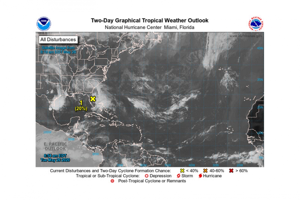
Special Tropical Weather Outlook issued to discuss the broad trough of low pressure extending across central Florida and the adjacent Atlantic waters.
1. Showers and thunderstorms located over extreme northeastern Florida, adjacent Atlantic waters, and the northwestern Bahamas are associated with an elongated surface trough interacting with an upper-level disturbance. Although a weak surface low has formed within the trough near Orlando, Florida, little if any further development of this system is expected due to land interaction, strong upper-level winds, and an abundance of dry air in the mid-levels of the atmosphere. The broad disturbance is forecast to move northward today and Wednesday, remaining inland or near the coasts of northeastern Florida and Georgia.
Regardless of development, heavy rainfall could cause flash flooding over portions of coastal sections of northeastern Florida and Georgia today, and over portions of the Carolinas on Tuesday and Wednesday. Gusty winds could also produce rough marine conditions and life-threatening surf and rip currents along the coasts of northeastern Florida, Georgia, and the Carolinas through Wednesday.
* Formation chance through 48 hours...low...20 percent.
* Formation chance through 5 days...low...20 percent.


