NWS National Hurricane Center Miami FL
700 AM EST Fri Nov 27 2020
For the North Atlantic...Caribbean Sea and the Gulf of Mexico:
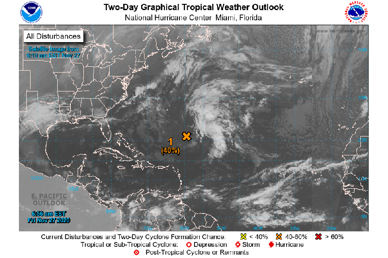
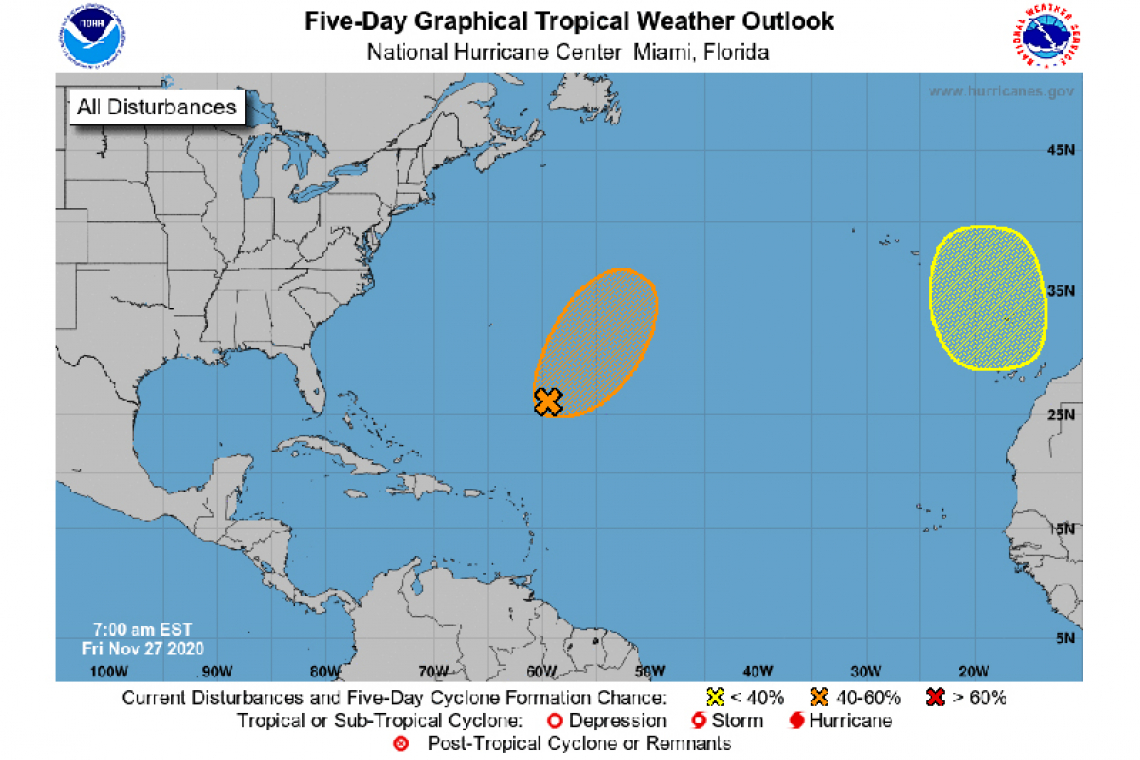
1. Showers and thunderstorms have decreased in coverage since yesterday near a well-defined, non-tropical low pressure system located several hundred miles southeast of Bermuda. Development is unlikely during the next day or so due to unfavorable upper-level winds. By Sunday, environmental conditions are expected to become a little more conducive for the low to briefly acquire subtropical characteristics as it moves northeastward ahead of a frontal system. By early next week, conditions are expected to become unfavorable for further development as the system interacts with or becomes absorbed by a frontal system.
* Formation chance through 48 hours...medium...40 percent.
* Formation chance through 5 days...medium...40 percent.
2. Another non-tropical area of low pressure is expected to form over the far eastern Atlantic during the weekend. This system could gradually gain subtropical characteristics early next week while it moves slowly southward to the west and southwest of Portugal.
* Formation chance through 48 hours...low...near 0 percent.
* Formation chance through 5 days...low...20 percent.