
Tropical Weather Outlook...Corrected
NWS National Hurricane Center Miami FL
800 AM EDT Fri Oct 29 2021
For the North Atlantic...Caribbean Sea and the Gulf of Mexico:
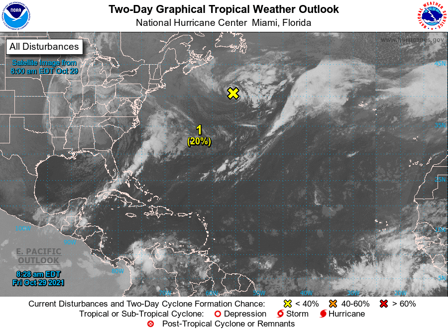
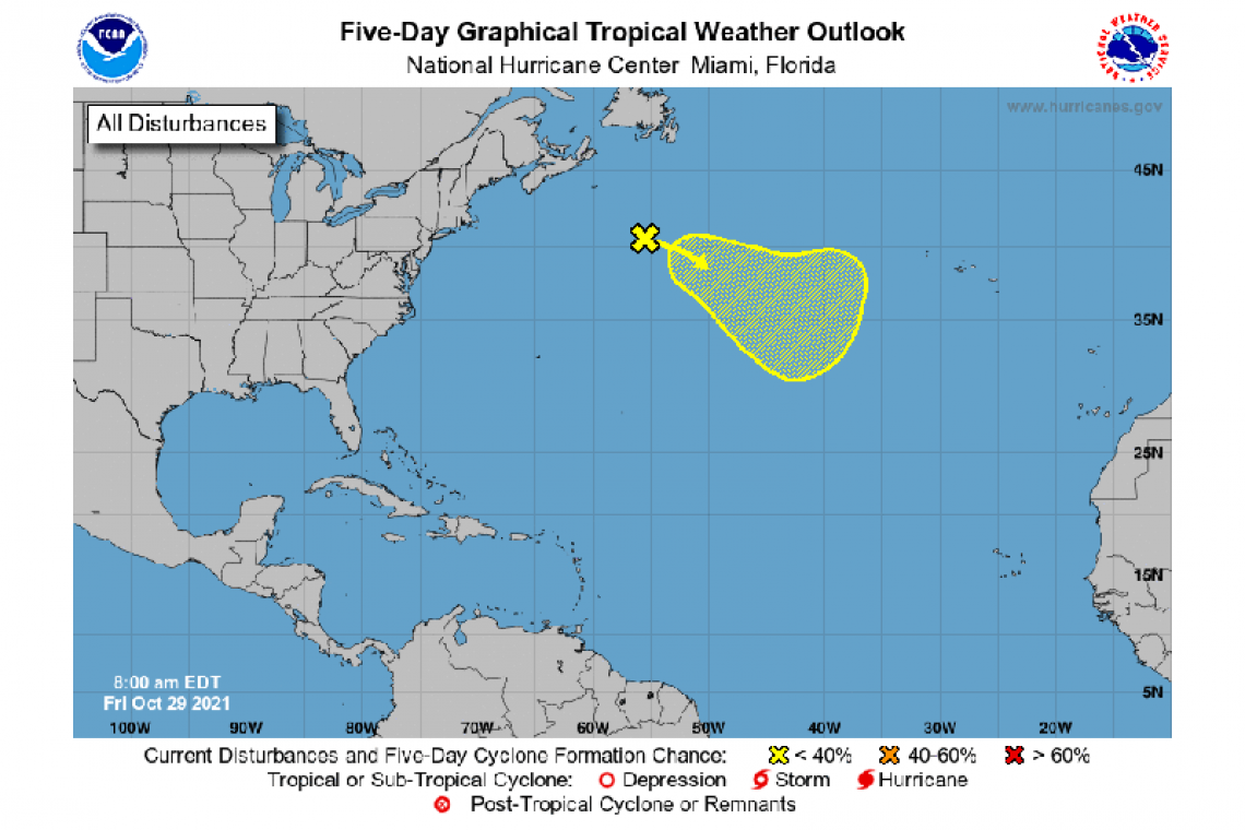
1. A strong low pressure system located several hundred miles south-southwest of Cape Race, Newfoundland is producing showers and a few thunderstorms. However, the low is still attached to a front and therefore remains nontropical. The low is expected to move eastward and then southeastward toward slightly warmer waters during the next few days, and it could lose its associated fronts and acquire some subtropical characteristics over the weekend or early next week while over the central Atlantic. For more information on this system, including gale warnings, see High Seas Forecasts issued by the National Weather Service.
* Formation chance through 48 hours...low...20 percent.
* Formation chance through 5 days...low...30 percent.
Forecaster Reinhart


