
NWS National Hurricane Center Miami FL
For the North Atlantic...Caribbean Sea and the Gulf of Mexico:
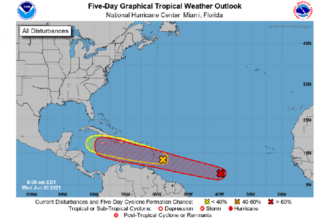
1. A broad area of low pressure, associated with a tropical wave, is located about midway between the west coast of Africa and the Windward Islands. This system is producing a large area of showers and thunderstorms that continues to show some signs of organization. Environmental conditions appear generally favorable for development, and a tropical depression is likely to form during the next few days while the system moves west-northwestward at about 20 mph. Interests in the Windward and Leeward Islands should closely monitor this system as it will likely
moving through that region on Friday.
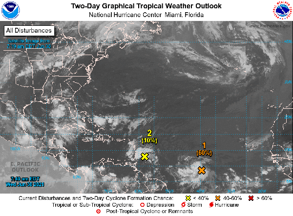
* Formation chance through 48 hours...medium...60 percent.
* Formation chance through 5 days...high...80 percent.
2. Disorganized showers and thunderstorms continue in association with a tropical wave located just east of the Lesser Antilles. Significant development of this system is unlikely while it moves quickly westward to west-northwestward at 20 to 25 mph, passing through the Lesser Antilles today and then across the eastern and central Caribbean Sea later this week. Regardless of development, this system could bring locally heavy rainfall to portions of the Lesser Antilles during the next day or two.
* Formation chance through 48 hours...low...10 percent.
* Formation chance through 5 days...low...10 percent.
Forecaster Beven


