
...THIS IS THE FINAL ADVISORY...
Post-Tropical Cyclone Gert Advisory Number 13
NWS National Hurricane Center Miami FL AL062023
1100 AM AST Tue Aug 22 2023
SUMMARY OF 1100 AM AST...1500 UTC...INFORMATION
-----------------------------------------------
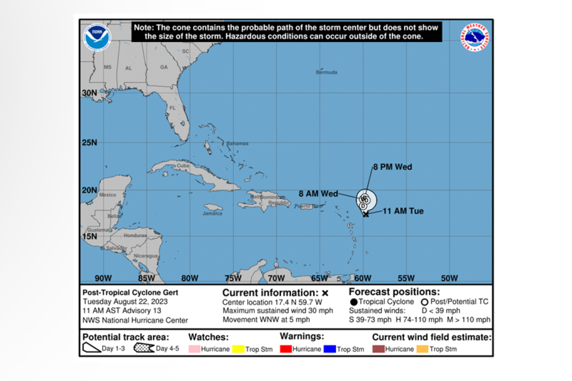
LOCATION...17.4N 59.7W
ABOUT 230 MI...370 KM ESE OF THE NORTHERN LEEWARD ISLANDS
MAXIMUM SUSTAINED WINDS...30 MPH...45 KM/H
PRESENT MOVEMENT...WNW OR 290 DEGREES AT 5 MPH...7 KM/H
MINIMUM CENTRAL PRESSURE...1008 MB...29.77 INCHES
WATCHES AND WARNINGS
--------------------
There are no coastal watches or warnings in effect.
DISCUSSION AND OUTLOOK
----------------------
At 1100 AM AST (1500 UTC), the center of Post-Tropical Cyclone Gert was located near latitude 17.4 North, longitude 59.7 West. The post-tropical cyclone is moving toward the west-northwest near 5 mph (7 km/h). The post-tropical remnants of Gert should drift slowly until it dissipates.
Maximum sustained winds are near 30 mph (45 km/h) with higher gusts. Gert should continue to gradually weaken until the circulation opens up into a trough in a couple of days.
The estimated minimum central pressure is 1008 mb (29.77 inches).
This is the last public advisory issued by the National Hurricane Center on Gert.
Forecaster Papin/R. Zelinsky


