
A TROPICAL STORM WARNING IS IN EFFECT FOR ST. MAARTEN… …STORM CONDITIONS EXPECTED FROM THIS AFTERNOON…
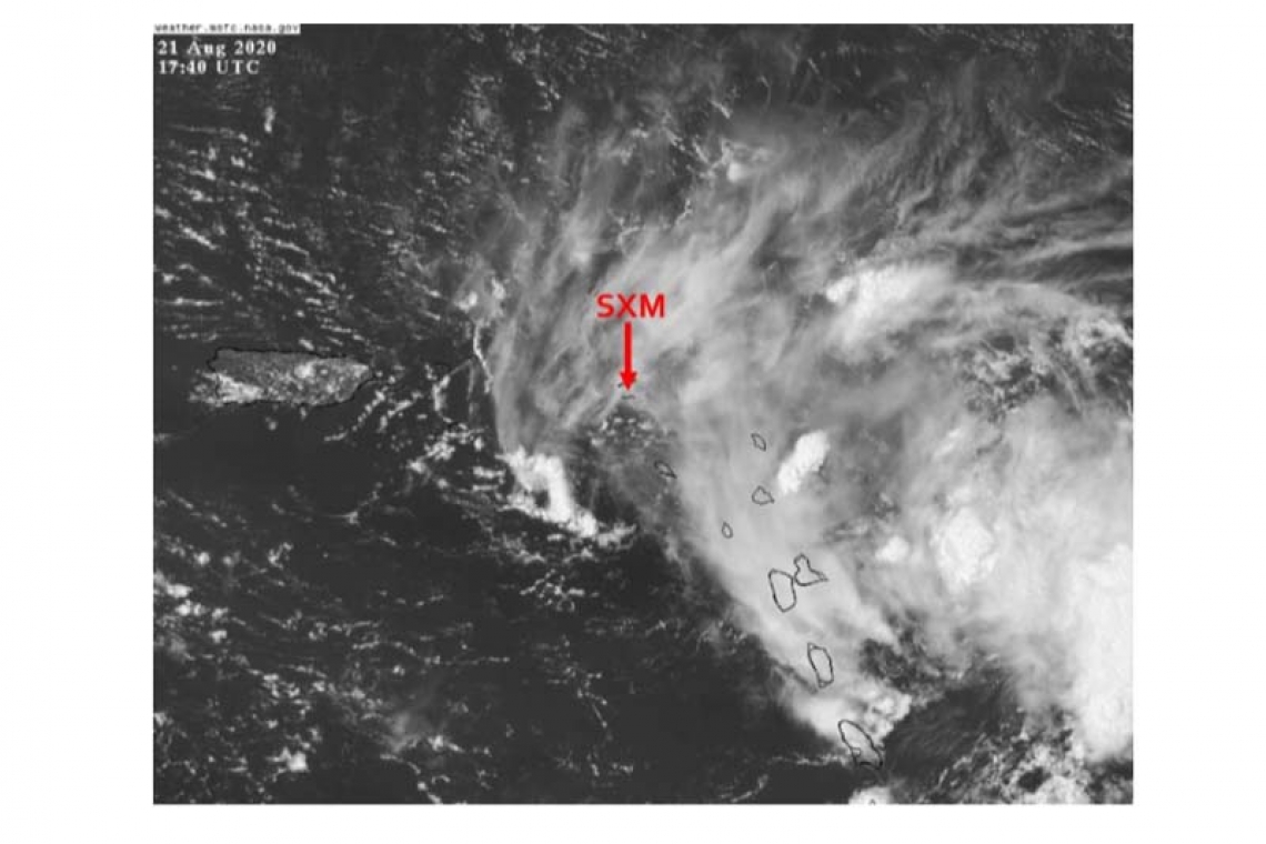
At 2PM (1800 UTC), Tropical Storm Laura was located near latitude 17.0 North, longitude 60.8 West or about 170 miles east-southeast of St. Maarten. Laura is moving toward the west near 18 mph (30 km/h). A general west-northwestward motion at a faster forward speed is expected over the next couple days.
Maximum sustained winds are near 45 mph (75 km/h) with higher gusts. Some slow strengthening is forecast during the next 48 hours. Tropical storm force winds extend outward up to 150 miles from the center.
The estimated minimum central pressure is 1007 mb (29.74 inches).
On the current forecast track, the center of tropical storm Laura is expected at its closest about 35 miles to the south southwest of St. Maarten late tonight.

HAZARDS AFFECTING LAND:
RAINFALL: Laura could produce up to 4 inches of rainfall through Sunday over the local area. Shower activity associated with rain bands from Laura is already affecting St. Maarten. Moderate to heavy showers accompanied by thunderstorms are expected to continue and intensify as the day progresses with most intense showers expected this evening through Saturday morning. This rainfall will result in flooding/flash flooding in low-lying areas and rock falls along hillsides, especially in areas that are already saturated.
WIND: Storm force winds of 45 mph with higher gusts are expected across the local area from this afternoon through Saturday morning.
SEAS: Sea conditions will continue to deteriorate today peaking near 10 feet overnight. As a result, a small craft warning is in effect for St. Maarten. Small craft operators and swimmers should stay out of the water until the all clear is given
• Residents in areas prone to flooding or near the coast should remain vigilant and take the necessary precautions to protect life and property.
• The general public should finalize all preparations and continue to monitor the updates from the Meteorological Department of St. Maarten.
The Meteorological Department of St. Maarten will continue to monitor the progress of this system and keep the public updated accordingly.
FORECASTER: CONNOR
Next Update will be at 05:30 pm, Friday August 21, 2020.
A Special Weather Bulletin is issued for weather events that are unusual, cause general inconvenience or public concern (requiring the attention and action of emergency authorities) and cannot adequately be described in a regular weather forecast.
A Small Craft Advisory announces that the sea will likely become rough today or is already occurring.
Tropical Storm a cyclone with sustained winds between 34-63 knots (39-73 mph).
A Tropical Storm Warning means that tropical storm conditions are expected somewhere within the warning area within 36 hours.
A Tropical Storm Watch means that tropical storm conditions are expected somewhere within the watch area within 48 hours.


