
NWS National Hurricane Center Miami FL
800 AM EDT Tue Jul 15 2025
For the North Atlantic...Caribbean Sea and the Gulf of America:
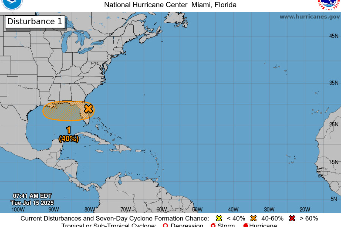
East of the Florida Peninsula into the Northeastern Gulf (AL93):
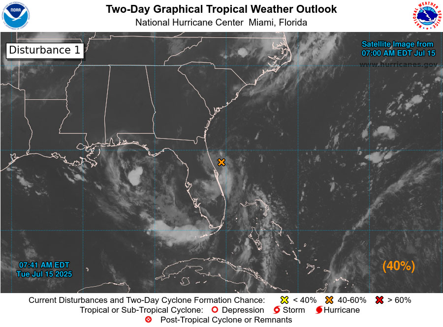 Satellite and radar data indicate that the shower and thunderstorm activity associated with the low pressure located just offshore of the east coast of Florida remains disorganized. This system is fore-cast to move westward across the Florida Peninsula today and then reach the northeastern Gulf by Wednesday.
Environmental conditions appear generally favourable for additional development,
and a tropical depression could form while the system moves across the northeastern and north-central Gulf.
Regardless of development, heavy rainfall could produce localized flash flooding over portions of Florida through mid-week. Heavy rainfall could also cause flash flooding for portions of the north-central Gulf Coast during the middle to latter portions of this week.
* Formation chance through 48 hours...medium...40 percent.
* Formation chance through 7 days...medium...40 percent.
Forecaster Bucci


