
NWS National Hurricane Center Miami FL
800 AM EDT Tue Jul 25 2023
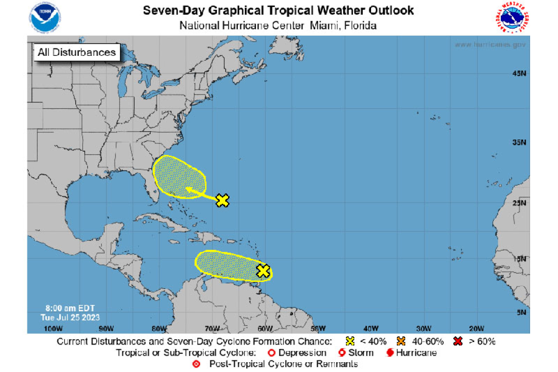
Near the Windward Islands:
A tropical wave located near the Windward Islands is producing a large area of disorganized showers and thunderstorms while moving quickly westward. Development, if any, of this system should be slow to occur during the next day or two before it moves into a region of unfavorable upper-level winds. Regardless of development, locally heavy rains and strong gusty winds are expected across portions of the Lesser Antilles during the next day or so.
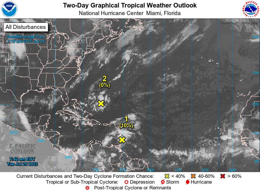
* Formation chance through 48 hours...low...10 percent.
* Formation chance through 7 days...low...10 percent.
Southwestern Atlantic:
A weak trough of low pressure is located a few hundred miles south-southwest of Bermuda. Some gradual development of this system is possible while it moves west-northwestward towards the southeastern U.S. coast later this week and into the weekend.
* Formation chance through 48 hours...low...near 0 percent.
* Formation chance through 7 days...low...20 percent.
Forecaster Pasch


