





NWS National Hurricane Center Miami FL
800 AM EDT Wed Sep 23 2026
For the North Atlantic...Caribbean Sea and the Gulf of America:
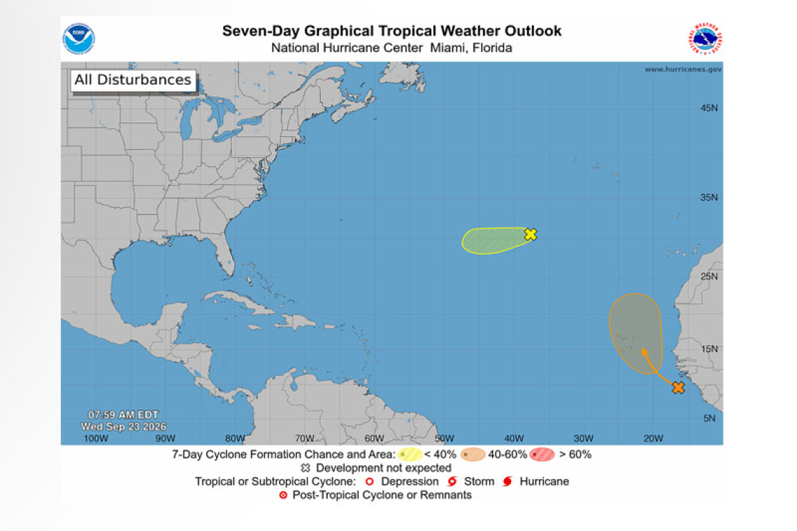
Far Eastern Tropical Atlantic:
An area of low pressure, associated with a tropical wave that just moved off the west coast of Africa, has formed about 600 miles southeast of the Cabo Verde Islands. This system could become a short-lived tropical depression on Thursday or Friday while it moves northwestward to northward. However, strong upper-level winds should end the opportunity for development by the weekend. In-terests in the Cabo Verde Islands should monitor the progress of this system as gusty winds and areas of heavy rain are possible there by the end of the week.
* Formation chance through 48 hours...low...30 percent.
* Formation chance through 7 days...medium...40 percent.
Central Subtropical Atlantic (Former Tropical Storm Fay):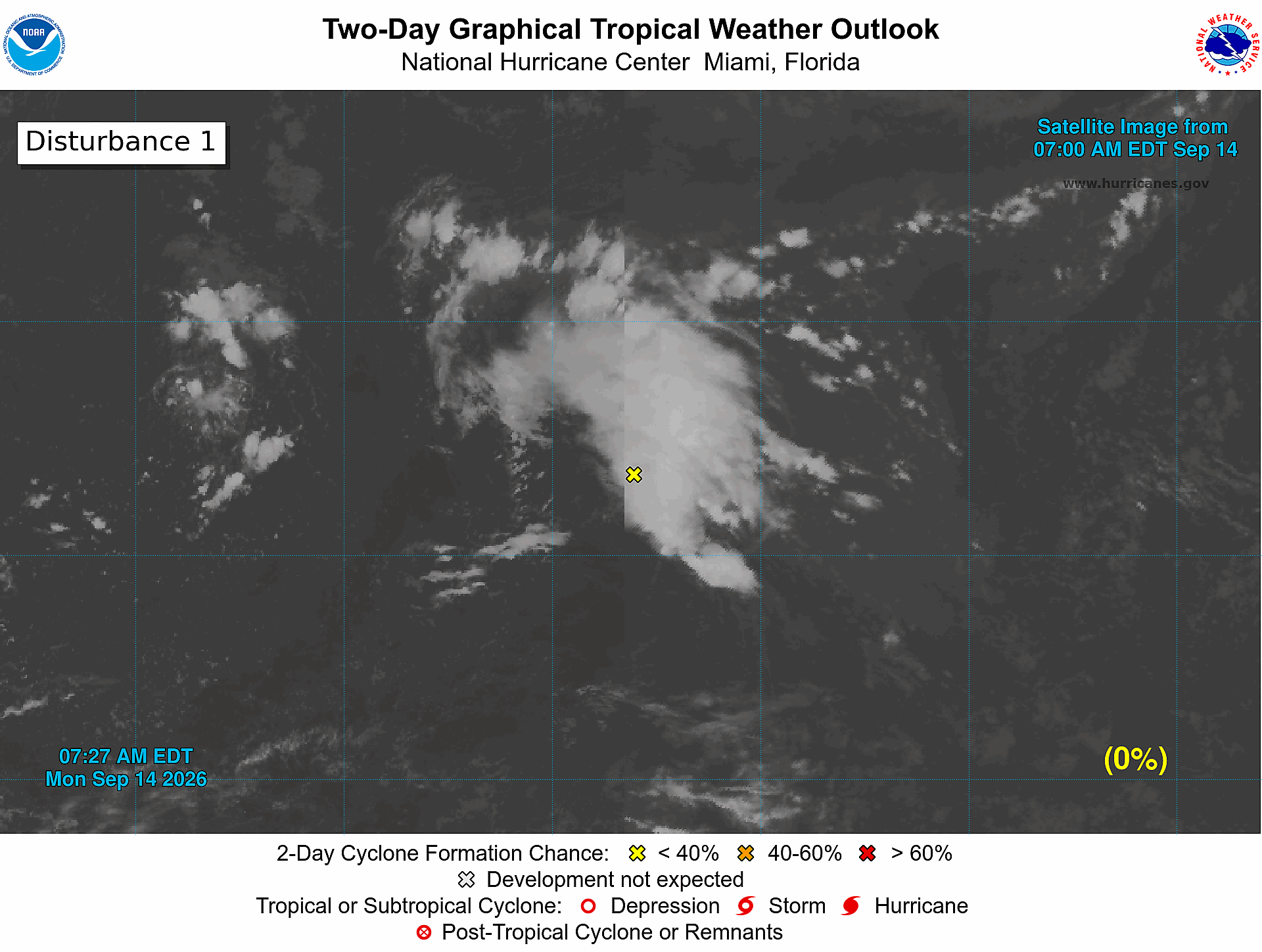
A low pressure system, formerly Tropical Storm Fay, is located about 800 miles southwest of the Azores. Shower activity associated with the low has increased this morning. However, significant re-development of this system is unlikely while it moves generally westward over the next couple of days. By the weekend, increasingly strong upper-level winds should inhibit re-development.
* Formation chance through 48 hours...low...20 percent.
* Formation chance through 7 days...low...20 percent.
Forecaster Pasch