
NWS National Hurricane Center Miami FL
For the North Atlantic...Caribbean Sea and the Gulf of Mexico:
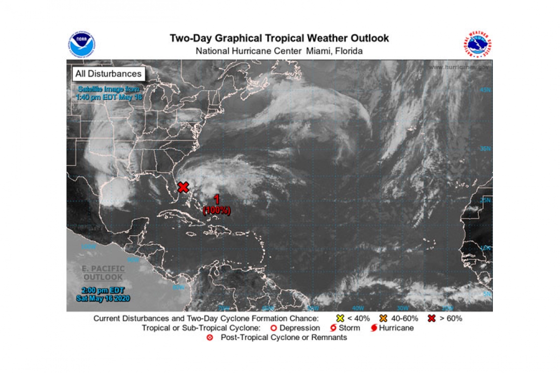
Special Tropical Weather Outlook issued to discuss the potential for tropical or subtropical development off the east coast of Florida.
Data from the Air Force Hurricane Hunters and satellite images indicate that the low pressure system located just off the coast of east-central Florida has become better defined today. In addition, the associated showers and thunderstorms continue to gradually organize. If these trends continues, advisories will likely be initiated on this system as a tropical or subtropical depression later today. Later in the weekend and early next week, the system is expected to move generally northeastward over the western Atlantic near or east of the Carolinas.
The system will continue to bring gusty winds and locally heavy rains across portions of east-central Florida through tonight. Interests near the North Carolina coast should closely monitor the progress of this system, as it could produce gusty winds and heavy rains there on Monday, and a tropical storm watch will likely be issued for that area later today. In addition, hazardous marine conditions will spread northward during the next few days, likely causing dangerous surf and rip currents along much of the southeast and mid-Atlantic coasts of the U.S. Another Air Force Reserve Hurricane Hunter aircraft is scheduled to investigate the
system this evening.
* Formation chance through 48 hours...high...near 100 percent.
* Formation chance through 5 days...high...near 100 percent.
Forecaster Cangialosi


