
NWS National Hurricane Center Miami FL
800 AM EDT Wed Oct 13 2021
For the North Atlantic...Caribbean Sea and the Gulf of Mexico:
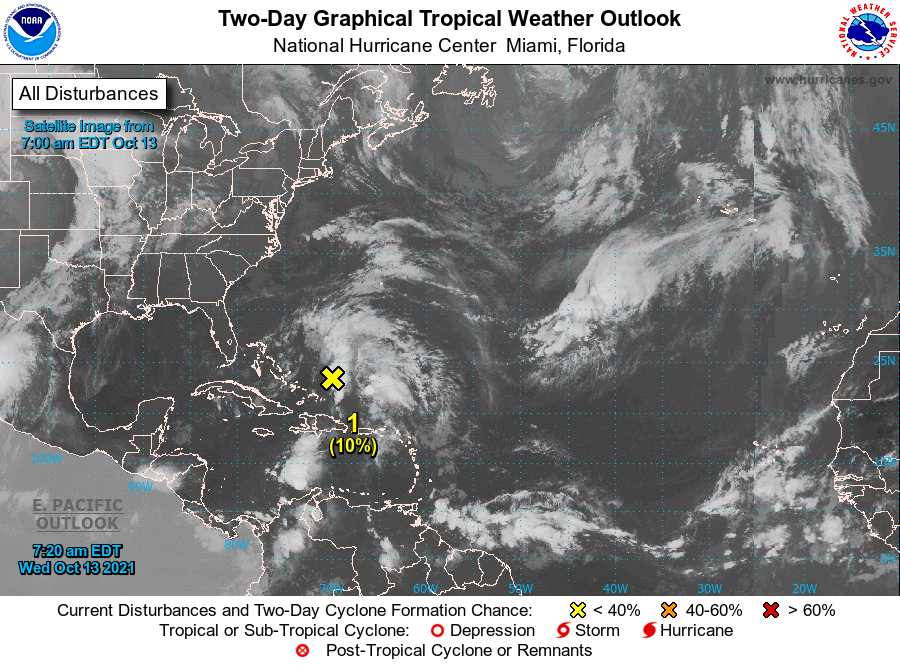
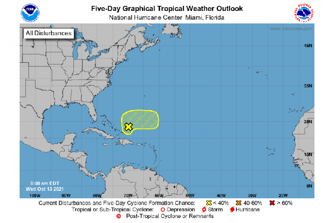
A large area of disorganized showers and thunderstorms over Hispaniola, the Turks and Caicos, the southeastern Bahamas, and adjacent Atlantic waters continue in association with a surface trough of low pressure. Development, if any, of this disturbance should be slow to occur during the next couple of days due to unfavorable upper-level winds. The system is forecast to drift northward through tonight, then accelerate eastward as a broad area of low pressure on Thursday. Toward the end of the week, further development is not anticipated since the disturbance will be interacting with a frontal system. Regardless, locally heavy rainfall is possible over portions of Hispaniola, the Turks and
Caicos, and the southeastern Bahamas during the next day or two.
* Formation chance through 48 hours...low...10 percent.
* Formation chance through 5 days...low...10 percent.
Forecaster Stewart


