
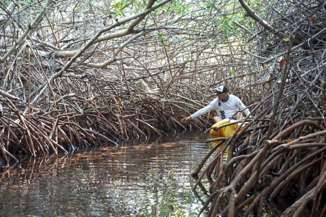
Bervoets assessing the Lac Bay Wetland on Bonaire.
PHILIPSBURG--A new scientific paper published in Estuaries and Coasts, titled “Estimating Dutch Caribbean Salt Marsh Extent for Inclusion of Island Territories in Ecosystem Mapping”, is drawing attention to coastal wetlands across the Dutch Caribbean and how frequently they are overlooked in planning and policy.
The paper was authored by Tadzio Bervoets, Monica M. Moritsch (Beneath The Waves), Anthony Campbell (NASA Biospheric Sciences Laboratory and University of Maryland), Austin J. Gallagher (Beneath The Waves), and Carlos M. Duarte (King Abdullah University of Science and Technology).
The study examined Aruba, Curaçao and Bonaire, identifying more than 4,500 hectares of salt marsh across the three islands. Notably, most of these wetlands are small and fragmented, often less than one hectare in size. These are precisely the types of areas that tend to be excluded from global maps and, as a result, from decision-making processes.
Although the research focused on Aruba, Curaçao and Bonaire, the findings are relevant across the Dutch Caribbean, including St. Maarten. The paper shows that when small wetlands are not properly accounted for, they are easily overlooked.
Despite their size, these areas play an important role in coastal systems. They retain water, filter run-off and support surrounding ecosystems. The gradual loss of these wetlands can have significant cumulative impacts, even if each individual area appears minor.
In St. Maarten, wetlands have been reduced and altered over time through land reclamation, drainage, pollution and development. Many have been treated as available land rather than as part of the island’s natural infrastructure.
“We’ve been treating wetlands in St. Maarten as if they don’t matter, and that has consequences,” Bervoets said. “We keep filling them in, cutting them off, or ignoring them altogether, and then we deal with flooding, water quality issues and loss of habitat. These areas are not empty land – they are part of how the island protects itself, and we are steadily removing that protection.”
One of the study’s key findings is that size should not be used to dismiss these systems. While most identified wetlands are small, they still contribute to the overall functioning of the coastline.
The paper also highlights a practical concern: wetlands that are not properly mapped are unlikely to be considered in planning decisions, making them more vulnerable to gradual loss.
For St. Maarten, this is not a future issue but an ongoing reality. Wetlands that once helped manage water and support coastal ecosystems have already been reduced, and those that remain continue to face pressure.
“There is still time to change how we approach this,” Bervoets added. “But that starts with recognising what is still there and treating it as something worth preserving, not something to be filled in later.”
The study presents a method that can be applied across the Dutch Caribbean, including St. Maarten, to better identify where wetlands are located and how much remains – information considered essential for effective management.
The paper is available via ResearchGate: https://www.researchgate.net/profile/Tadzio-Bervoets.


