
DATE ISSUED: Monday, 13 April 2026 @ 12:00 LST (16:00 UTC)
VALID UNTIL: Tuesday midday (12:00 LST) 14 April 2026
WEATHER:
Tonight through Tuesday midday: Cloudy with scattered showers and possible thunderstorms.
Forecast High: 30°C / 86°F
Forecast Low: 24°C / 75°F
Sunset Today: 6:29 P.M.
Sunrise Tomorrow: 5:57 A.M.
SURFACE WINDS:
This afternoon through Tuesday midday: Southeasterly with a light to gentle breeze at 5 to 10 mph, becoming lighter and variable at times.
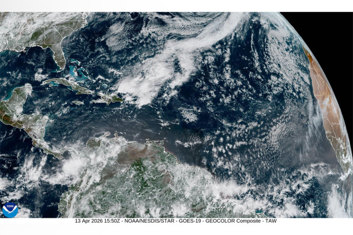
SYNOPSIS:
Increasing moisture and instability, along with warm southeasterly winds will cause periods of cloudiness and intermittent showers across the local area. Some of these showers may be heavy and can lead to street-flooding. Therefore, residents and users of vulnerable- and flood-prone areas are advised to be vigilant and exercise caution. Meanwhile, light winds will persist.
Seas are expected to remain slight through the next few days.
STATE OF THE SEA: Slight
WAVES/SWELLS: 2 to 4 feet
SPECIAL FEATURE: None.
OUTLOOK through Wednesday midday: Partly cloudy to cloudy at times with isolated showers and possible thunderstorms.
FORECASTER: Connor
3-DAY FORECAST
|
DAY
|
Monday
|
Tuesday
|
Wednesday
|
|
WEATHER
|
Partly Cloudy/Cloudy,
Light Haze, Isolated Showers
|
Cloudy,
Scattered Showers, possible Thunderstorms
|
Partly Cloudy/Cloudy,
Isolated Showers |
|
HIGH TEMP
|
30°C / 86°F
|
29°C / 84°F
|
29°C / 84°F
|
|
LOW TEMP
|
24°C / 75°F
|
23°C / 73°F
|
24°C / 75°F
|
|
SUNRISE
|
05:57 AM
|
05:57 AM
|
05:56 AM
|
|
SUNSET
|
06:29 PM
|
06:29 PM
|
06:29 PM
|


