
DATE ISSUED: Wednesday 8th October 2025 @ 12:00 LST (16:00 UTC)
VALID UNTIL: Thursday midday (12:00 LST) 9th October 2025
… A TROPICAL STORM WATCH IS IN EFFECT …
WEATHER:
This afternoon through Thursday midday: Variably cloudy with isolated showers and a chance of isolated thunderstorms.
Forecast High: 32°C / 90°F Forecast Low: 26°C / 79°F
Sunset Today: 5:55 P.M. Sunrise Tomorrow: 6:05 A.M.
SURFACE WINDS:
This afternoon through Thursday midday: East southeasterly to southeasterly with a gentle to moderate breeze from 6 to 15 mph.
SYNOPSIS:
A moist and unstable atmosphere will continue to cause cloudiness, showers and possible thunderstorms across the region. Residents and users of areas prone to flooding and rock slides should be vigilant due to saturated soils.
Seas will peak at 5 feet during this forecast period.
STATE OF THE SEA: Slight to moderate WAVES/SWELLS: 3 to 5 feet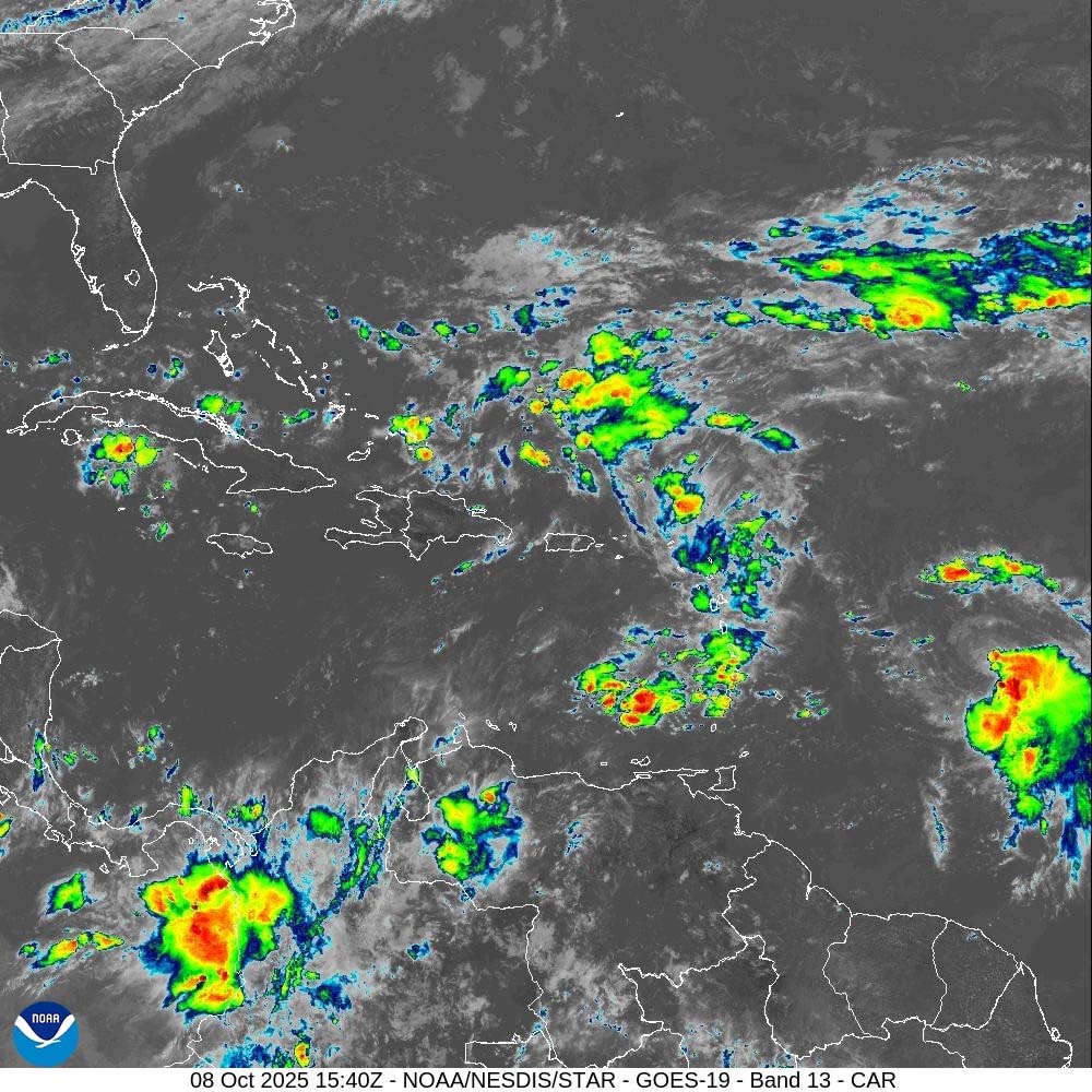
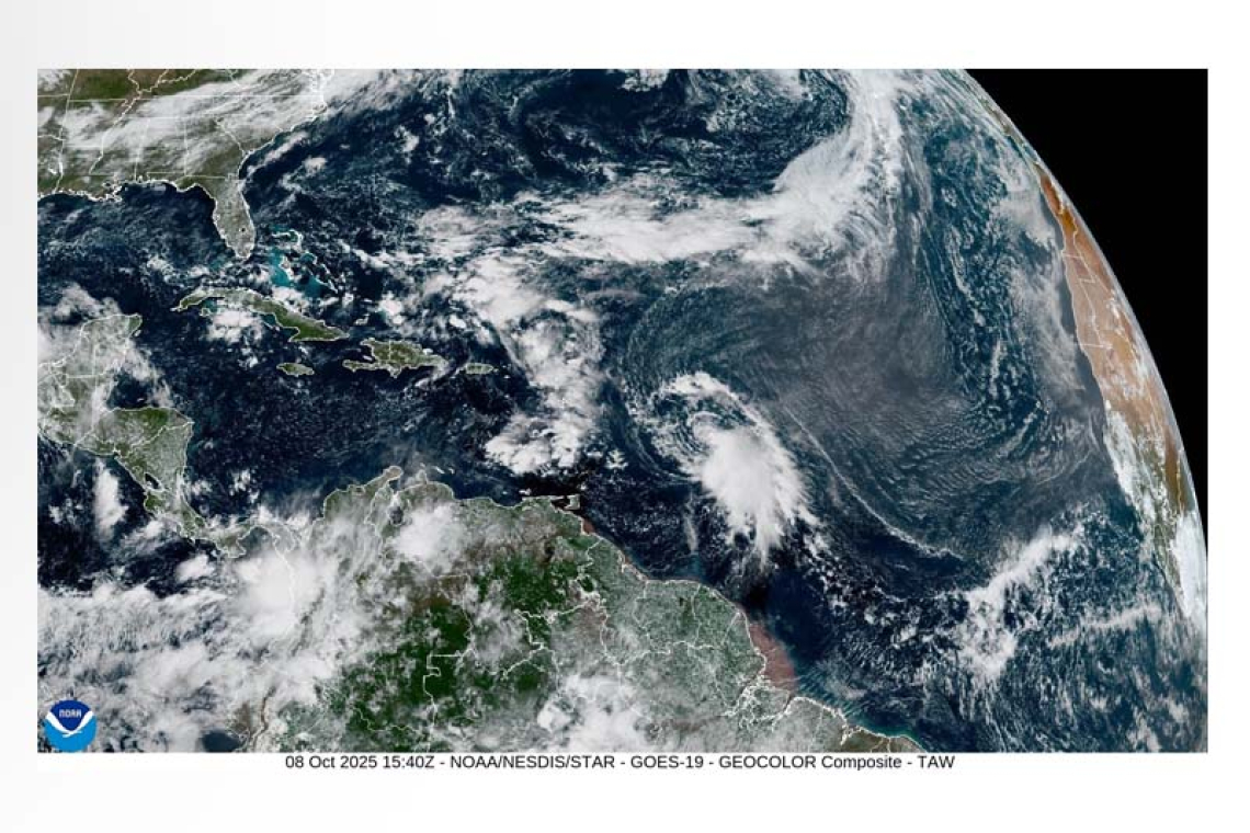
SPECIAL FEATURE:
AT 11:00 am, the center of Tropical Storm Jerry was located about 750 miles east southeast of St. Maarten. TS Jerry is moving west northwestward at 23 mph with maximum sustained near 60 mph and higher gusts. Jerry is expected to pass approx. 140 miles northeast of St. Maarten on Friday 10th October.
The Meteorological Department of St. Maarten will continue to monitor this system and update the public accordingly.
FORECASTER: Albert
3-DAY FORECAST


