
DATE ISSUED: Wednesday 24th September 2025 @12:00 LST (16:00 UTC)
VALID UNTIL: Thursday midday (12:00 LST) 25th September 2025
…A FLOOD ADVISORY IS IN EFFECT UNTIL 8PM TONIGHT…
WEATHER:
This afternoon & evening: Cloudy and breezy with scattered showers. Isolated thunderstorms are possible.
Tonight, through Thursday midday: Partly cloudy with isolated showers.
Forecast High: 30°C / 86°F Forecast Low: 27°C / 81°F
Sunset Today: 6:07 P.M. Sunrise Tomorrow: 6:02 A.M
SURFACE WINDS:
This afternoon & evening: Southeast to east-northeast, with a moderate breeze, at 13 – 18mph and higher gusts.
Tonight, through Thursday midday: East-northeast to southeast, with a light to moderate breeze, at 7 to 13 mph.
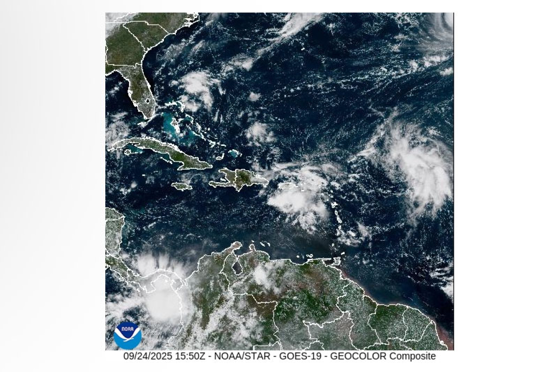
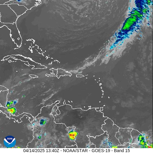
SYNOPSIS: Moist and unstable conditions remain in the wake of tropical wave, AL94. Meanwhile, the atmosphere is slowly stabilizing. However, heavy showers and flooding are still possible in vulnerable areas, this afternoon and evening. Residents in low-lying and flood-prone areas should remain vigilant. Expect noticeable improvement from overnight.
Slight to moderate sea conditions will prevail this forecast period.
 STATE OF THE SEA: Slight to moderate WAVES/SWELLS: 3 to 5 feet
SPECIAL FEATURE: A tropical wave (AL93), located about several hundred miles east of the region has a high (90%) chance of development over the next 2-7 days. Environmental conditions are forecast to be generally favourable for development, and a tropical depression is likely to form later today or tomorrow (Thursday) as it moves west-northwest. Currently, this system poses NO DIRECT THREAT to St Maarten.
The Meteorological Department of St. Maarten will continue monitoring the Atlantic and provide updates accordingly.
OUTLOOK through Friday midday: Partly cloudy with isolated showers.
FORECASTER: Craig / Henderson
The next weather forecast will be issued: Today at 18:00 LST (22:00 UTC).


