





NWS National Hurricane Center Miami FL
800 AM EDT Fri Aug 14 2026
For the North Atlantic...Caribbean Sea and the Gulf of America:
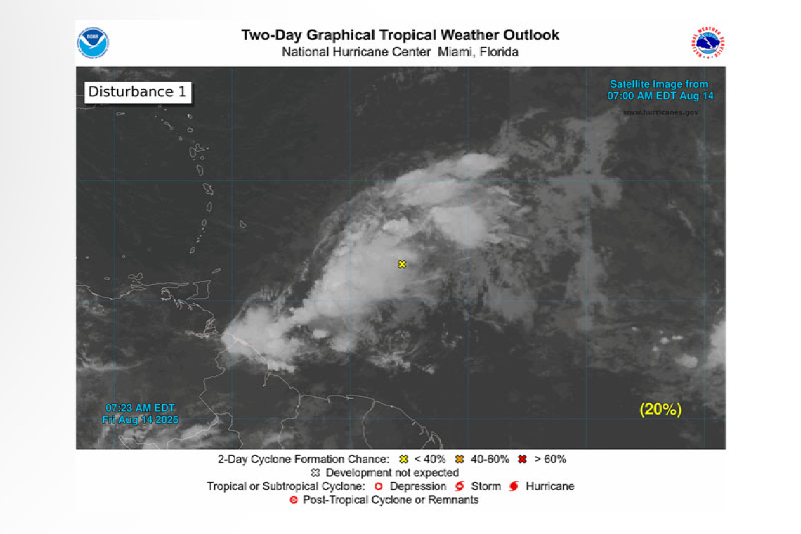
Central Tropical Atlantic (AL92):
 A tropical wave located about 400 miles east of the Windward Islands is producing gusty winds and a large area of showers and thunderstorms. This system is moving into a region of increasing up-per-level winds and dry air, and the potential of development continues to decrease. Even though development is unlikely, gusty winds and areas of heavy rain are possible across portions of the Lesser Antilles tonight and on Saturday.
* Formation chance through 48 hours...low...20 percent.
* Formation chance through 7 days...low...20 percent.
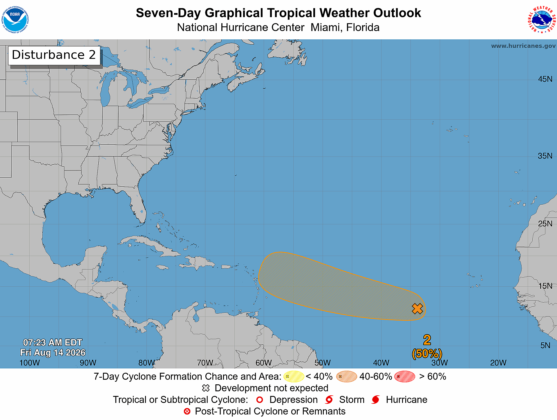
Eastern Tropical Atlantic (AL94):
A tropical wave over the central tropical Atlantic, located more than 1000 miles west of the Cabo Verde Islands, continues to produce disorganized showers and thunderstorms. Environmental condi-tions are forecast to be generally conducive for gradual development, and a tropical depression could form this weekend or early next week while the wave moves westward or west-northwestward across the central
tropical Atlantic.
* Formation chance through 48 hours...low...30 percent.
* Formation chance through 7 days...medium...50 percent.
Forecaster Cangialosi/Adams