





NWS National Hurricane Center Miami FL
800 AM EDT Thu Aug 13 2026
For the North Atlantic...Caribbean Sea and the Gulf of America:
Active Systems:
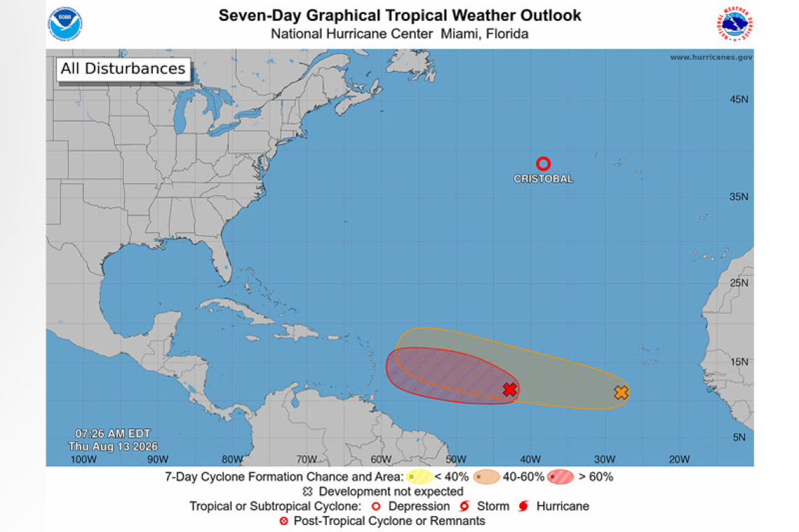
The National Hurricane Center is issuing advisories on recently downgraded Tropical Depression Cris-tobal, located about 600 miles west of the Azores.
Central Tropical Atlantic (AL92):
Showers and thunderstorms are showing signs of organization in association with a tropical wave lo-cated about 1000 miles east of the Lesser Antilles. This system will likely become a short-lived tropical depression during the next day or two as it moves westward across the tropical Atlantic. However, by late Friday, the system is expected to move into a region of strong upper-level winds and dry air, which should end its opportunity to develop. Interests in the Lesser Antilles should monitor the pro-gress of this system as gusty winds and areas of heavy rain are possible Friday night and Saturday, re-gardless of development.
* Formation chance through 48 hours...high...80 percent.
* Formation chance through 7 days...high...80 percent.
Eastern Tropical Atlantic (AL94):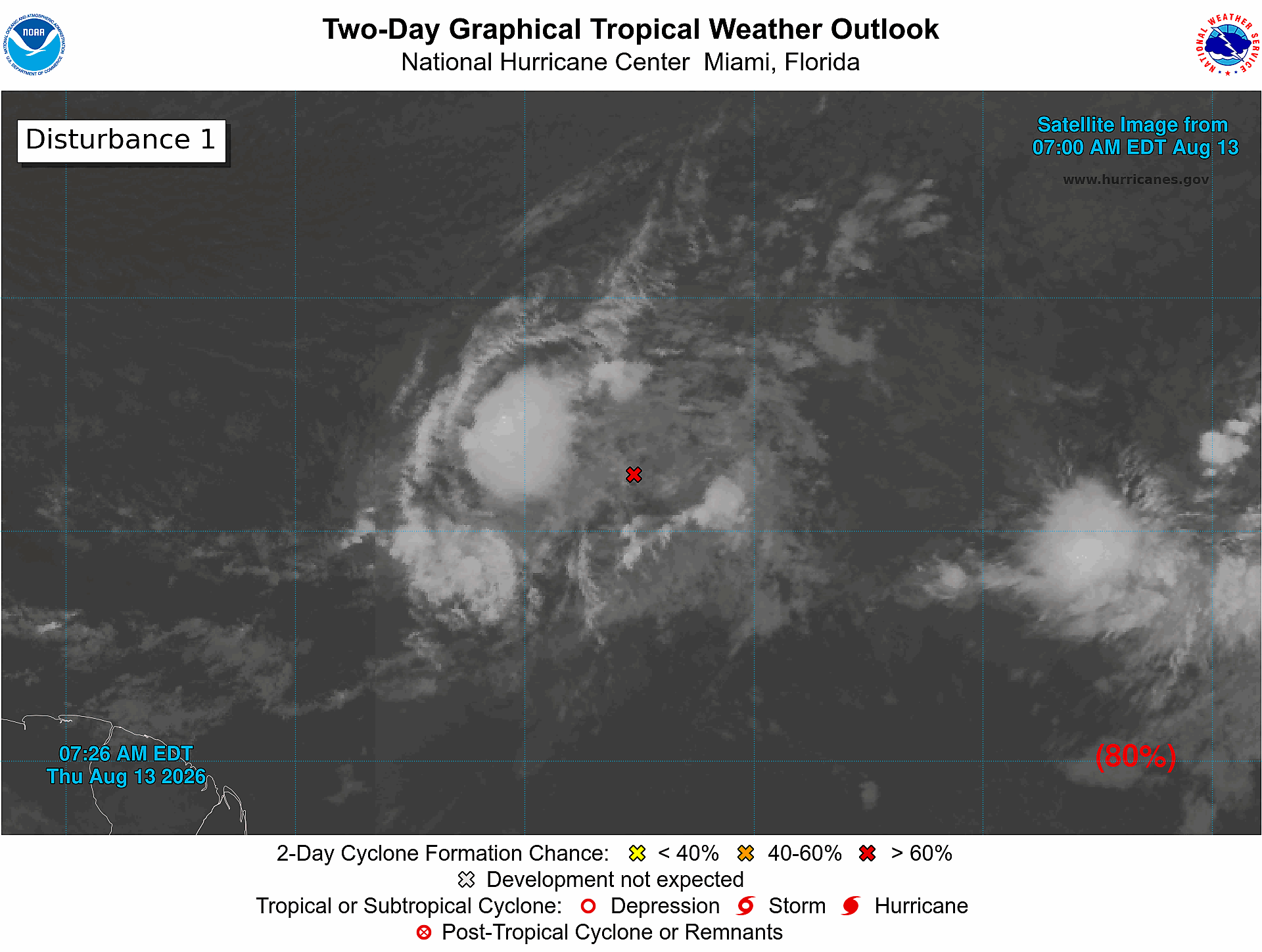
A tropical wave located a few hundred miles south-southwest of the Cabo Verde Islands is producing disorganized showers and thunderstorms. Environmental conditions are forecast to be generally conducive for gradual development, and a tropical depression could form late this week or this weekend while the wave moves westward or west-northwestward across the eastern and central tropical Atlantic.
* Formation chance through 48 hours...low...30 percent.
* Formation chance through 7 days...medium...50 percent.
Forecaster Cangialosi/Adams