
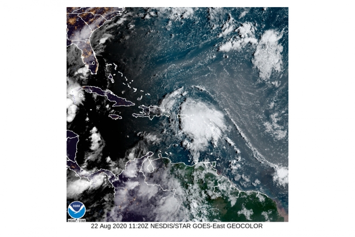
GREAT BAY, Sint Maarten (DCOMM) – As of 5.30am Saturday morning, the disorganized Tropical Storm Laura was located 160 miles west of Sint Maarten according to the Meteorological Department of Sint Maarten (MDS).
Tropical Storm Laura is moving away from Sint Maarten; however, it is still expected to cause moderate to heavy rainfall, thunderstorms, storm force wind gusts and rough seas throughout Saturday.
The Fire Department/Office of Disaster Management (ODM) Fire Chief/National Disaster Coordinator Clive Richardson, is calling on residents and motorists to stay away from flood prone areas and to stay off the road during heavy rain events if you do not have to be out; hillside residents are advised to remain indoors during heavy rainfall due to possible rock and landslides. If you do need to venture out, you should be vigilant and exercise caution while driving.
The Government does not recommend that businesses stay closed today Saturday but should take the forecast into consideration before making a decision to open.
The John Larmonie Center, a designated storm shelter, is open for those emergency cases that require a shelter at this time due to the heavy rainfall. The shelter will close at 9.00AM.
Identified flood prone areas are:
L.B. Scot Road - from Emilio Wilson Park until Cake House.
Zagersgut - from Petro Plus Gas Station until Seventh Day Church.
Wegelegen Road Cayhill - from Wegelegen road Roundabout until One Tete Loke Roundabout.
Beacon Hill Road - from Sunset Bar & Grill until beginning of White Sands Road.
Rhine Road - from the intersection of University Drive until intersection of Rio Grande.
The potential hazards for the country according to MDS as of 5.30AM are:
RAINFALL: Laura could produce up to 2 inches of rainfall through the next 24 hours over the local area. Moderate to heavy showers accompanied by thunderstorms are still
possible through today. This rainfall could result in flooding/flash flooding in low-lying areas and rock falls along hillsides, especially in areas that are already saturated.
WIND: Storm force gusts are possible across the local area through today.
SEAS: Seas are expected to remain moderate to rough. Small craft operators and sea bathers should avoid open waters until the all clear is given.
The country remains under a Tropical Storm Warning.


