

DATE ISSUED: Friday 16th May 2025 @ 12:00 LST (16:00 UTC)
VALID UNTIL: Saturday midday (12:00 LST) 17th May 2025
FLOOD ADVISORY IN EFFECT UNTIL 12PM SATURDAY 17TH MAY 2025!
Tonight, through Saturday midday: Cloudy to overcast with scattered showers and isolated thunderstorms.
Forecast High: 30°C / 86°F
Forecast Low: 24°C / 75°F
Sunset Today: 6:39 P.M.
Sunrise Tomorrow: 5:39 A.M.
SURFACE WINDS:
This afternoon through Saturday midday: East-northeasterly to east-southeasterly with a light to moderate breeze at 8 to 15 mph, and higher gusts.
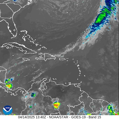
SYNOPSIS:
An approaching upper-level trough is the dominant feature of this forecast period. Expect cloudy to overcast conditions and showers with its approach as both moisture and instability levels increase; thunderstorms are expected to start overnight. The public is advised to be vigilant and monitor updates due to potential flooding.
Slight to moderate seas will prevail this weekend.
STATE OF THE SEA: Slight to moderate
WAVES/SWELLS: 3 to 7 feet
SPECIAL FEATURE: None.
OUTLOOK through Sunday midday: Cloudy to overcast with scattered showers. Isolated thunderstorms are likely.
FORECASTER: Craig
3-DAY FORECAST
|
DAY
|
Friday
|
Saturday
|
Sunday
|
|
WEATHER
|
Variably Cloudy
Scattered Showers
Thunderstorms Possible
|
Cloudy / Overcast
Scattered Showers
Isolated Thunderstorms
|
Partly Cloudy / Cloudy
Isolated Showers
Thunderstorms Possible
|
|
HIGH TEMP
|
30°C / 86°F
|
29°C / 84°F
|
29°C / 84°F
|
|
LOW TEMP
|
25°C / 77°F
|
23°C / 73°F
|
24°C / 75°F
|
|
SUNRISE
|
05:39 AM
|
05:39 AM
|
05:38 AM
|
|
SUNSET
|
06:39 PM
|
06:39 PM
|
06:40 PM
|


