
Post-Tropical Cyclone Beta Advisory Number 23
NWS Weather Prediction Center College Park MD AL222020
400 AM CDT Wed Sep 23 2020
SUMMARY OF 400 AM CDT...0900 UTC...INFORMATION
----------------------------------------------
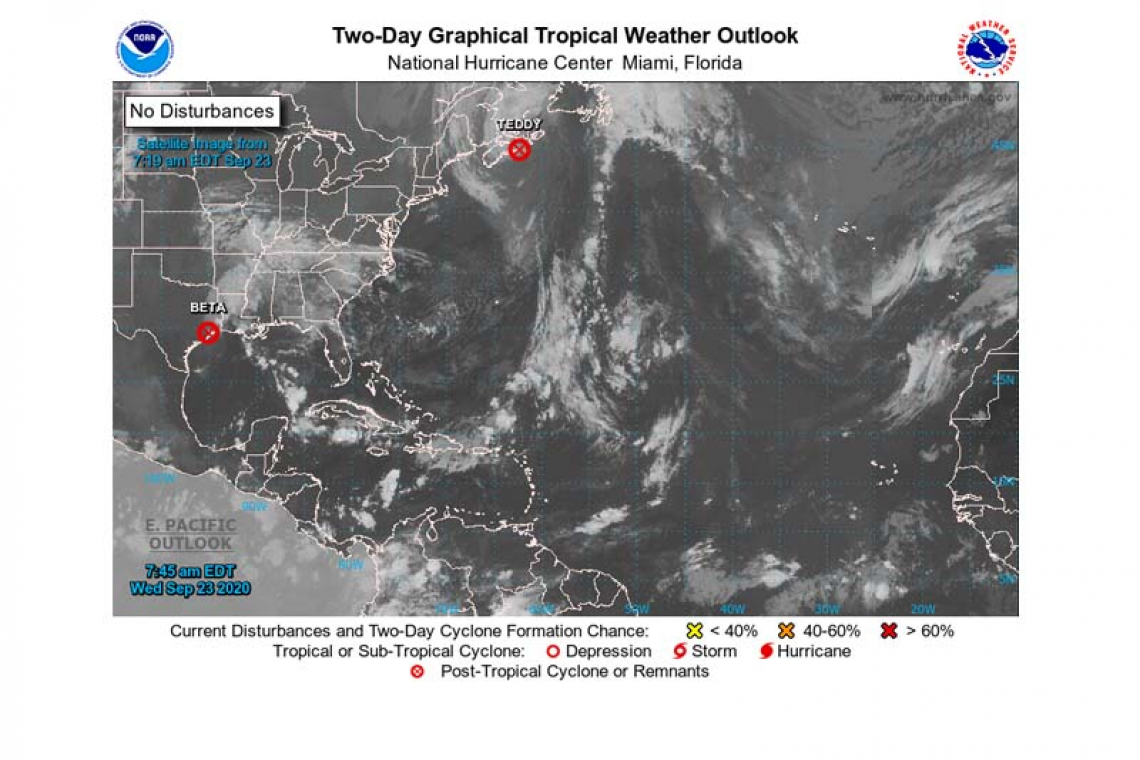
LOCATION...29.5N 95.0W
ABOUT 30 MI...45 KM ESE OF HOUSTON TEXAS
ABOUT 70 MI...115 KM WSW OF PORT ARTHUR TEXAS
MAXIMUM SUSTAINED WINDS...30 MPH...45 KM/H
PRESENT MOVEMENT...ENE OR 60 DEGREES AT 9 MPH...15 KM/H
MINIMUM CENTRAL PRESSURE...1007 MB...29.74 INCHES
WATCHES AND WARNINGS
--------------------
There are Flash Flood Watches currently in effect across Southeast Texas and Southern Louisiana.
DISCUSSION AND OUTLOOK
----------------------
At 400 AM CDT (0900 UTC), the center of Post-Tropical Cyclone Beta was located near latitude 29.5 North, longitude 95.0 West. The post-tropical cyclone is moving toward the east-northeast near 9 mph (15 km/h) and this motion is expected to shift more toward the northeast during the next 48 hours. The NHC has issued its final advisory on this system. Public Advisories from the Weather Prediction Center will provide updates as long as the system remains a flood threat.
Maximum sustained winds are near 30 mph (45 km/h) with higher gusts. Slow weakening is forecast during the next 48 hours.
The estimated minimum central pressure is 1007 mb (29.74 inches).

HAZARDS AFFECTING LAND
----------------------
RAINFALL: For the upper Texas coast, additional rainfall of 3 to 5 inches with isolated storm totals up to 15 inches is expected through Wednesday afternoon. Significant urban flooding will continue as well as minor to isolated moderate river flooding. Flash flooding will remain possible through Wednesday afternoon.
Rainfall totals of 2 to 5 inches are expected east into the Lower Mississippi Valley, portions of the Tennessee Valley, and the southern Appalachians through the end of the week. Flash and urban flooding is possible, as well as isolated minor river flooding on smaller rivers.
SURF: Swells generated by a combination of Beta and a stationary front over the northern Gulf of Mexico will continue from the Upper Coast of Texas to the Western Florida Panhandle during the next couple of days. These swells are likely to cause life-threatening surf and rip current conditions. Information on ongoing coastal flooding can be found in coastal flood products issued by local National Weather Service offices.
Forecaster Gallina


